Background Information
The Qinghai - Xizang Plateau, Xinjiang, Siberia, and their surrounding regions form one of the most dynamic natural laboratories on Earth for studying continental deformation, mountain building, intracontinental tectonics, cryosphere change, hydrological redistribution, and geohazards. The region includes the world’s highest plateau, major active fault systems, extensive glaciers and permafrost, large river-source areas, arid inland basins, and broad high-latitude environments. These coupled tectonic, climatic, hydrological, and cryospheric processes make the TibXS region scientifically important not only for Asia, but also for understanding global change and Earth-system interactions.
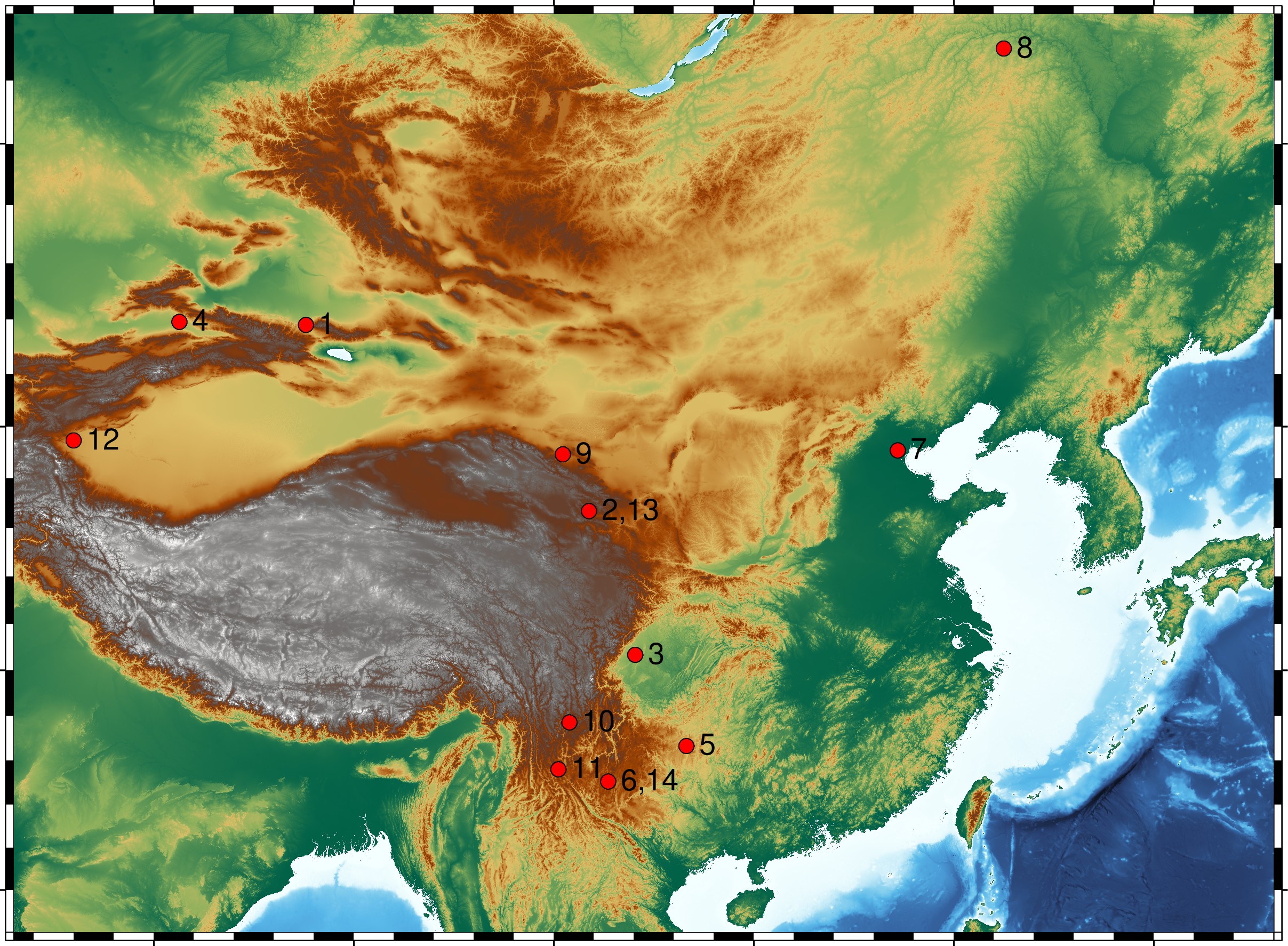
The International Workshop on TibXS was initiated in 2009 as an international forum for geodesy, geodynamics, gravity, seismology, remote sensing, and related Earth-science disciplines. Over the past 13 workshops, TibXS has provided a platform for researchers to exchange new observations, methods, models, and interpretations concerning Xizang, Xinjiang, Siberia, and adjacent regions, including Yunnan, Sichuan, Qinghai, Gansu, Guizhou, Guangxi, and other tectonically and environmentally sensitive areas. The 14th TibXS continues this tradition while further expanding its scientific scope toward integrated observations and interdisciplinary interpretations.
Recent advances in space geodesy, satellite gravimetry, terrestrial and airborne gravity, InSAR, GNSS, satellite altimetry, time and frequency geodesy, seismology, hydrology, glaciology, and artificial intelligence have greatly improved our ability to observe Earth-surface deformation, mass redistribution, seismic processes, glacier and permafrost change, water storage variation, and climate-related hazards. However, many key scientific questions cannot be answered by a single technique alone. Integrated analysis of multi-source, multi-scale, and multi-parameter observations is essential for identifying causal mechanisms, separating tectonic, hydrological, cryospheric, and climatic signals, and improving the reliability of geophysical interpretation.
The 14th TibXS therefore welcomes contributions that use observations, theory, numerical modeling, data assimilation, time-frequency analysis, machine learning, and interdisciplinary approaches to address fundamental and applied problems in geodesy and geodynamics. Particular attention will be given to studies that combine different observational systems, reveal new physical mechanisms, improve monitoring capability, or provide scientific support for disaster mitigation, water-resource management, ecological protection, and adaptation to climate change in high-mountain, plateau, inland-basin, and high-latitude environments.
 Kunming, China